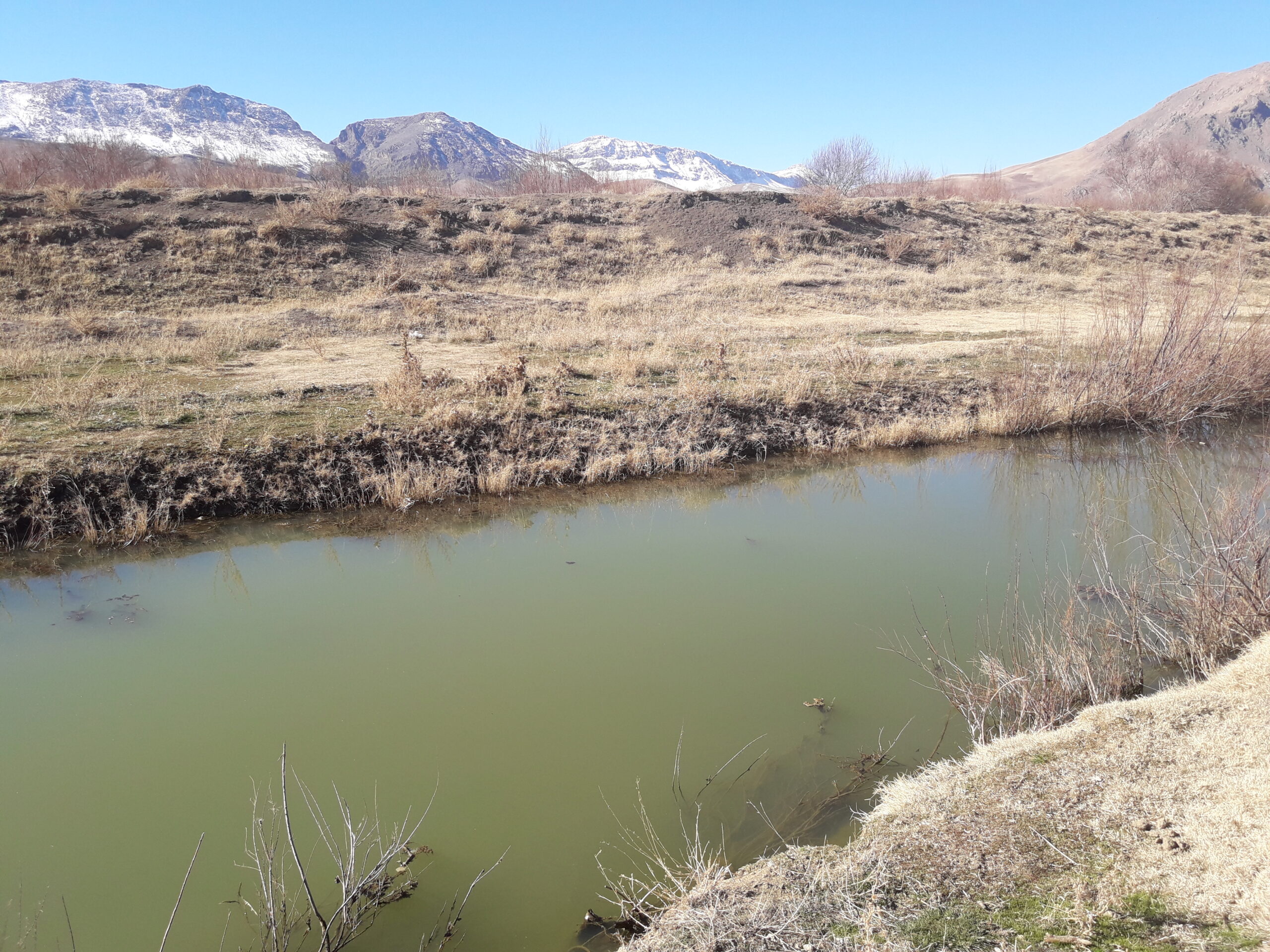
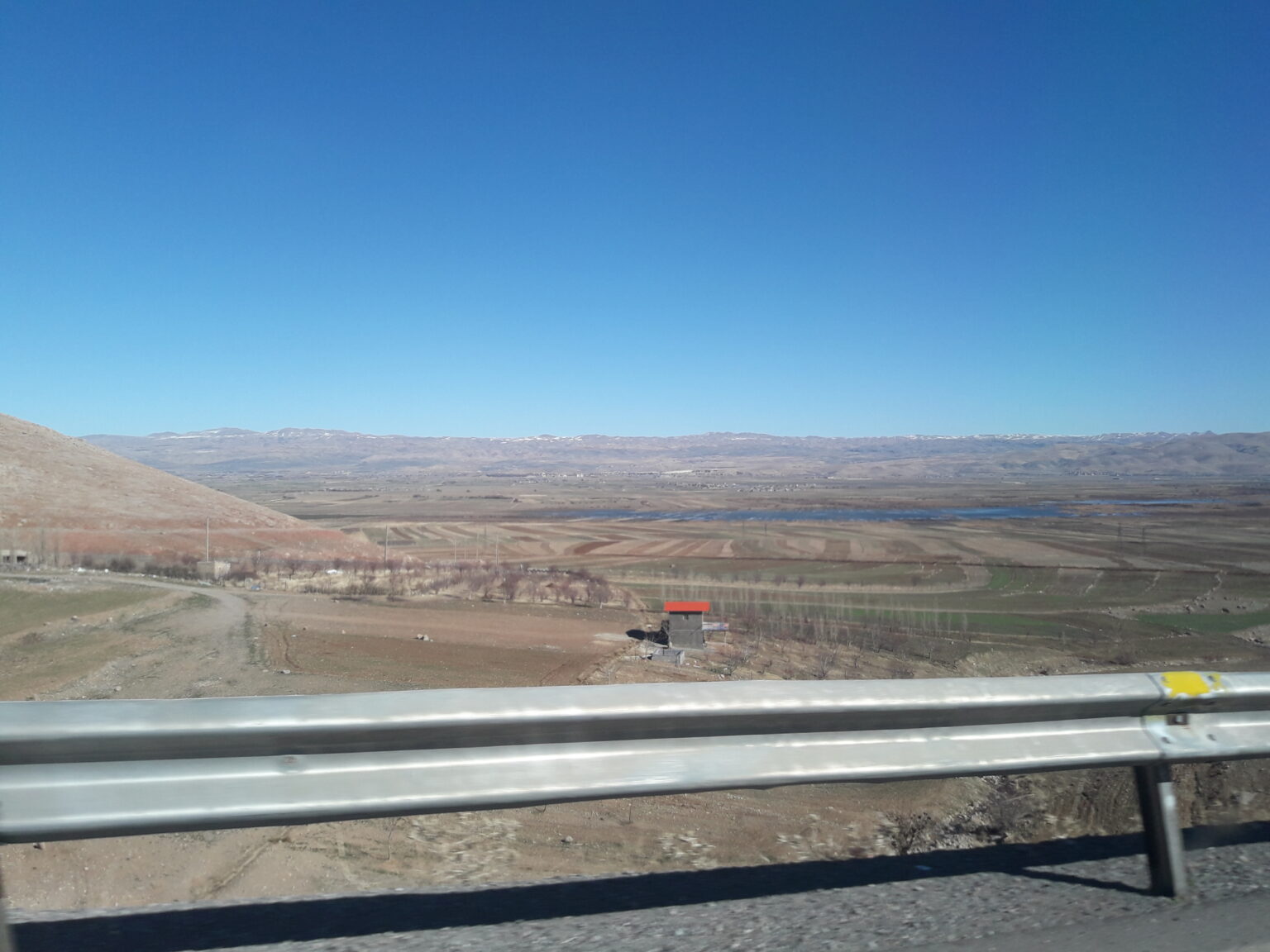
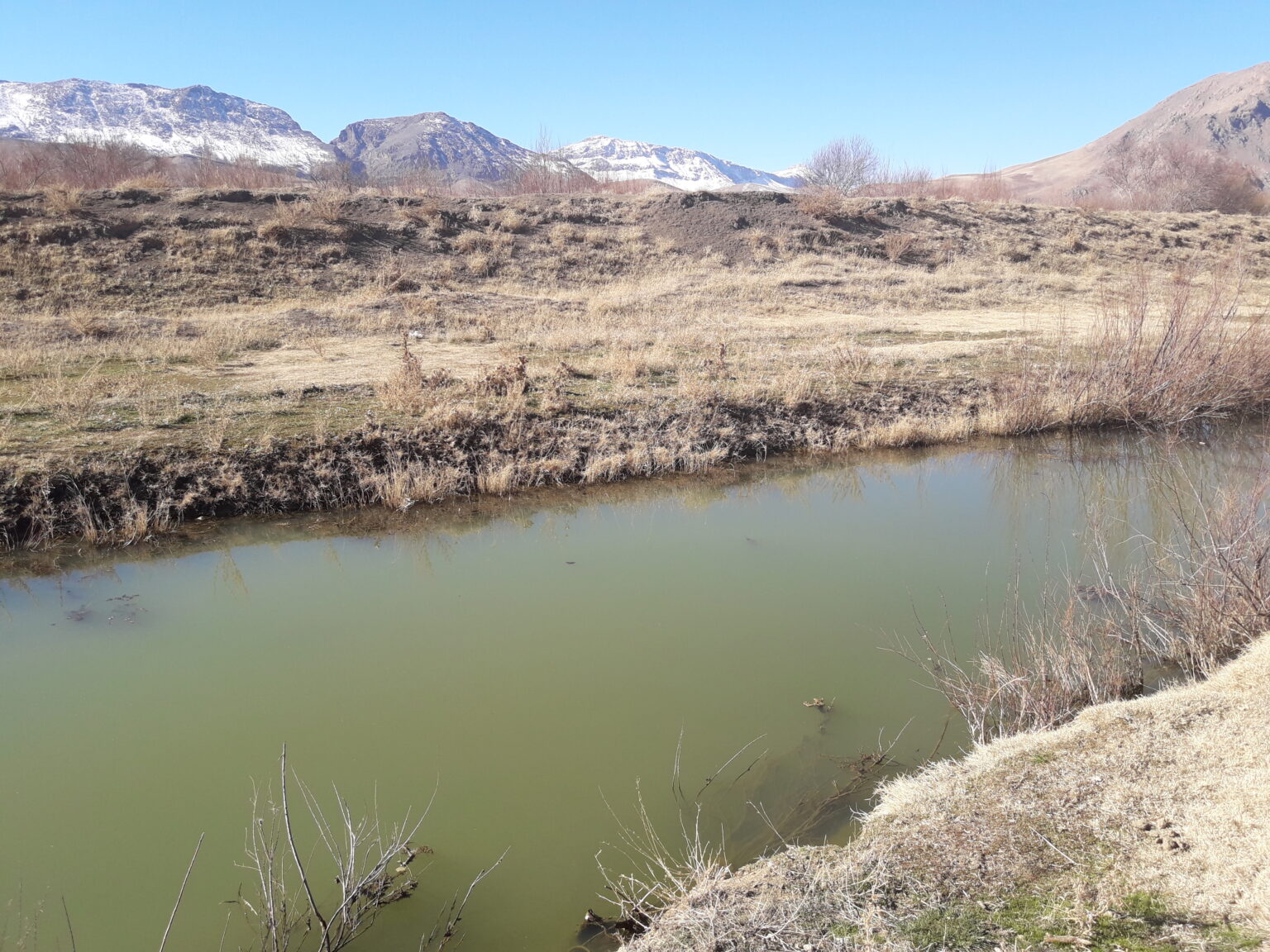
Mapping and studies of the Bisheh Dalan Wetland and its bed in Borujerd
Client: Lorestan Province Regional Water Company
Contract start date: 2018-01-02
Brief description:
First, the area of the Bisheh Dalan wetland was mapped. Then, based on old photographs from 1968 and the oldest satellite images, as well as satellite images from high water years, the boundaries were determined using 3D modeling of the wetland and compared, and the best boundary was determined as the wetland boundary.