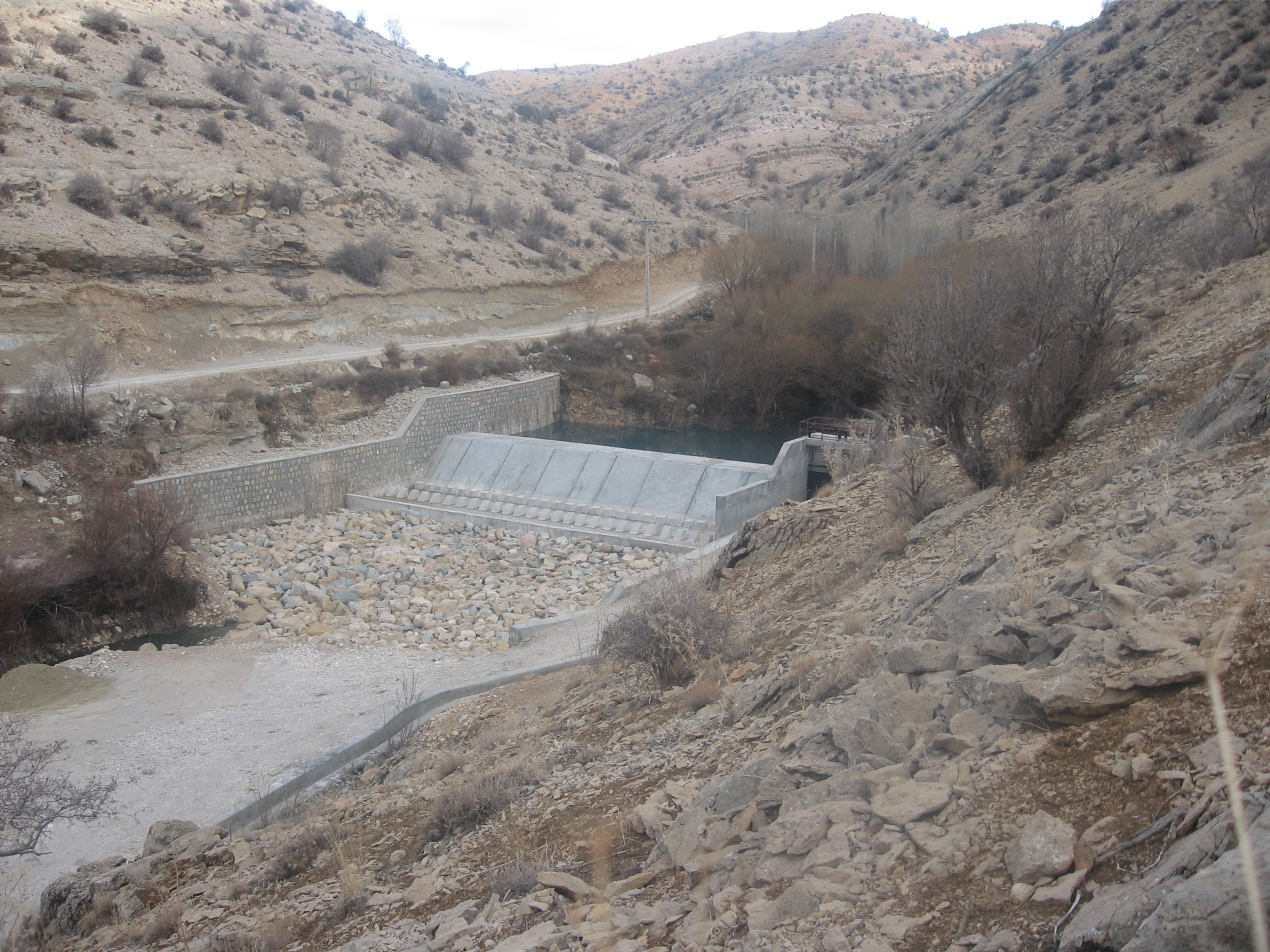
Workshop and high-level supervision of the Tang Sorkh diversion dam and associated canals
Client: Kohgiluyeh and Boyer-Ahmad Province Regional Water Company
Contract start date: 2006-09-16
Brief description:
The aim of this project is to provide permanent water supply of 600 liters per second for 350 hectares of agricultural lands and low-lying gardens, reduce maintenance and operation costs of the canal, protect the constructed canals from floods, trap sediments by sedimentation basins, and prevent sediments from entering the canals.
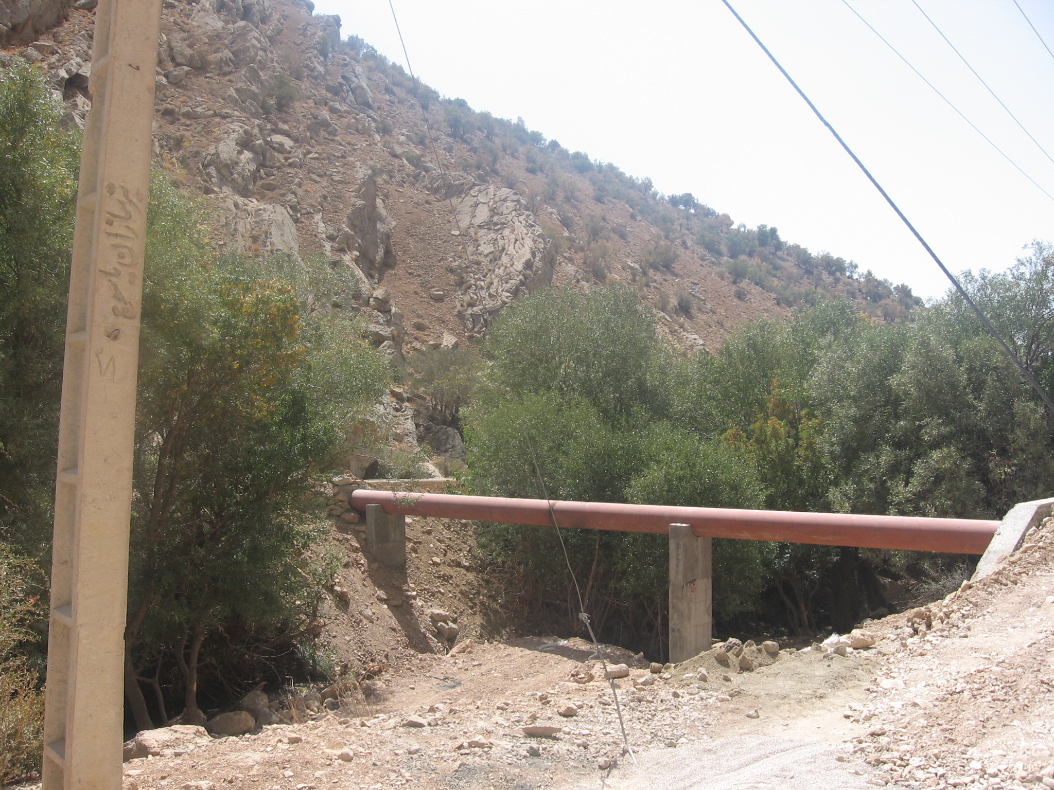
The width of the constructed dam is 33 meters, the width of the small dam is 28 meters, the height from the foundation level is 5.5 meters, and the type of the barriered relaxation basin with end base. The construction of 4700 meters of rectangular canal and 2000 meters of trapezoidal canal in order to transfer 600 liters per second from the constructed dam site to agricultural lands is among the implementation operations of the project.
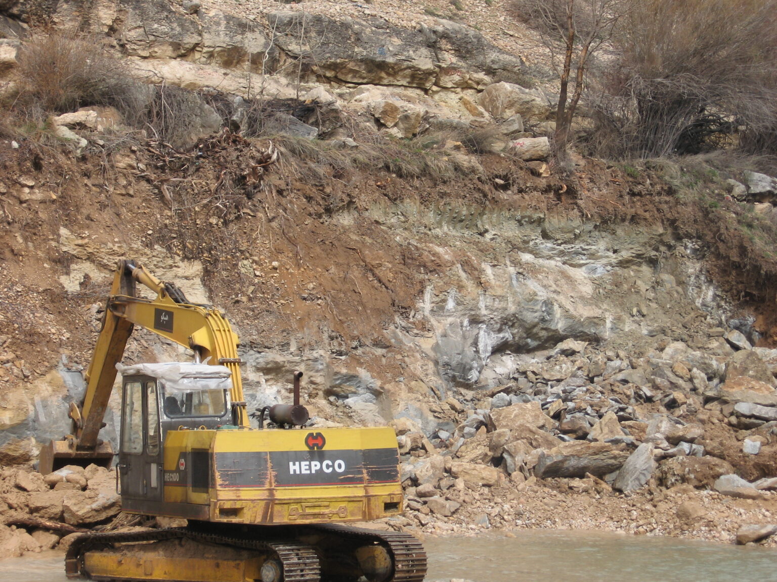
During this project, the contractor’s performance and implementation operations were monitored based on the schedule. In order to resolve problems and improve the implementation process of the project, regular weekly and monthly meetings were held with the presence of the employer and contractor’s agents. Monthly reports were prepared regularly and provided to the employer. Finally, a large part of the agricultural lands and gardens of the project, which were irrigated in the dry and semi-dry way, were covered by this dam, and due to the construction of irrigation canals, the efficiency of water transfer also increased.
Software development methods used:
LEVEL: To control the leveling plates provided and correct them
TADBIR: To estimate the operations carried out in riyals and correct the statements sent by the contractor
Civil Design: To determine the volumes of excavation and embankment